Built by GageCarto
Explore Data


50%


Take Action
View Story
Have you ever wondered where the wildest places in the country are? What about the wildest places in your state or county? As we celebrate Wilderness Month, we at The Wilderness Society wanted to answer those questions.

2024 marks the 60th anniversary of the Wilderness Act. This landmark law empowered ordinary people to protect wild places on federal lands through their elected representatives in Congress.

Scroll down to explore the map
Today, designated wilderness areas, national parks, national monuments, and national wildlife refuges protect land across the country, safeguarding critical habitat, clean air and water, invaluable cultural sites and spaces for outdoor recreation. And while that is a massive achievement, we know that the vast majority of wild places remain unprotected.
Wilderness areas and other protected lands
Think of wild-ness as a relative quality of land. The wildest places are those farthest from roads where nature is still relatively intact, the night sky is dark, and nature’s sounds - frog, bird, or insect calls and wind through the trees - are not drowned out by traffic or other industrial noises.
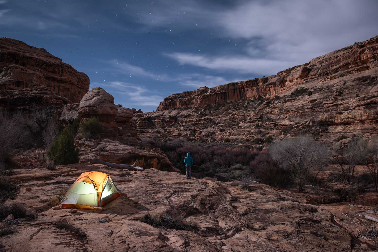
Mason Cummings - Bears Ears National Monument, Utah
Over 20 years ago, our scientists used data on land use, roads, light pollution, human population density, and other features to map an index of wildness1. Other global, national, and local efforts have continued to refine and improve this work. Sadly, this research has documented the loss of wild places every year as the human footprint expands. 
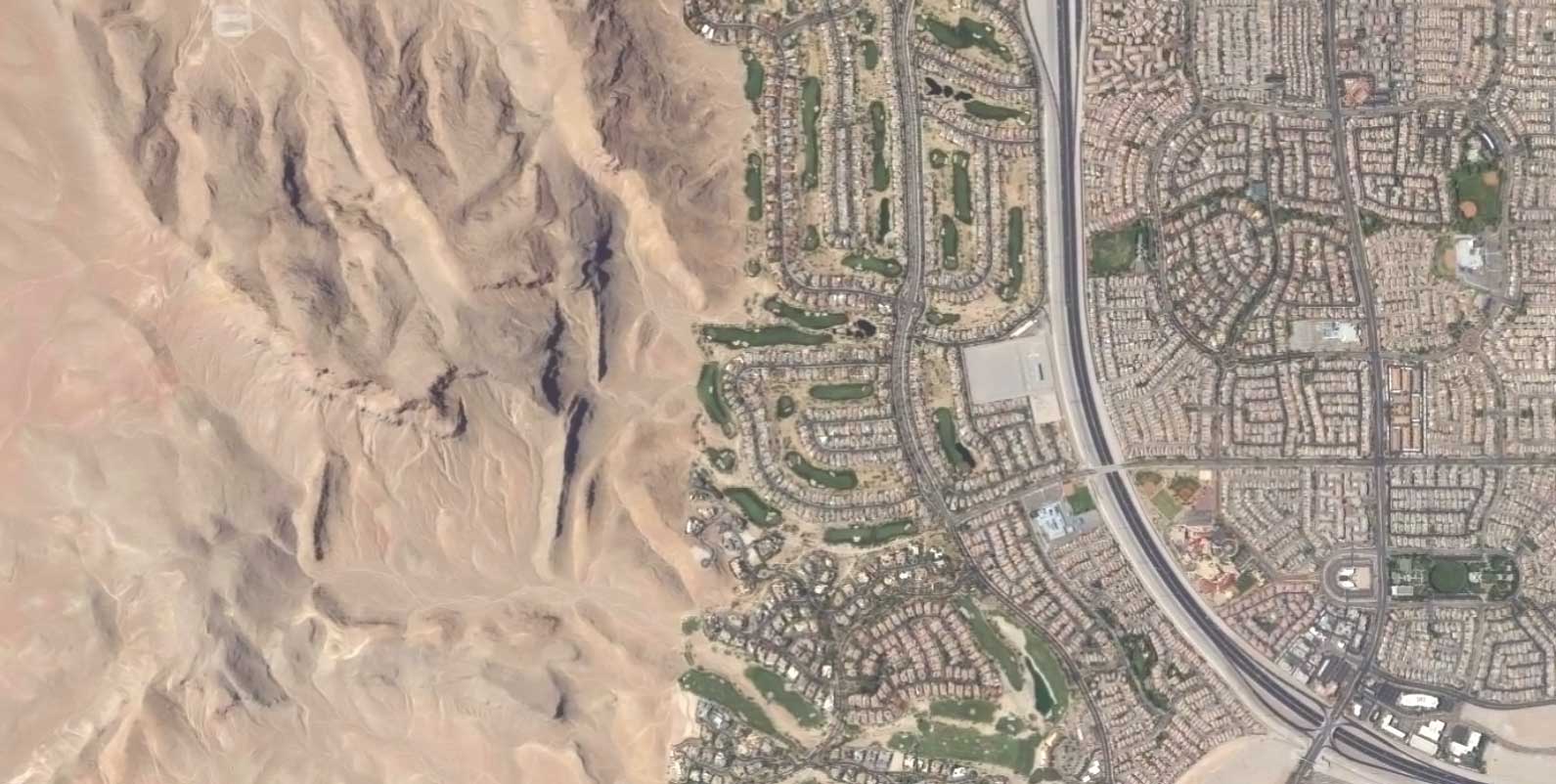
USDA NAIP - Clark County, NV
Across the contiguous United States, maps of wildness show clear patterns where nature is still relatively free of the industrial human footprint (darkest blue areas). We can also clearly see cities, major highways, and broad regions of agricultural lands (lighter colored areas).
More Wild More Developed

We can use the latest data2 to map the wildest 30% of lands across the contiguous United States (data from Alaska and Hawaii are still forthcoming).
Top 30% wildest in US
The data also allows us to map the wildest 30% of lands relative to each state.
Top 30% wildest in each state
As well as the wildest 30% of places in each county. Relative to the nation, some of the places highlighted within counties may not seem very wild, but every place contains qualities that make it relatively wild.
Top 30% wildest in each county
Even in places as developed and urbanized as Chicagoland, relatively wild places can be found. Take for example the Busse Woods (Ned Brown Forest Nature Preserve). This area is just outside the Chicago O’Hare Airport but provides a relative oasis of wildness in a dense suburban area.
Top 30% wildest in Cook County, IL
7
Explore where you live to find the wildness around you. Please note that many places we've mapped as the wildest are likely located on private land and other places closed to public access. The Wilderness Society recognizes Native American and Indigenous peoples as the longest serving stewards of these lands and respects their inherent sovereignty, right to self-determination and treaty rights. Consult local maps and check trail conditions before attempting to visit any of these sites and ensure you are not trespassing or otherwise prohibited from visiting. Also keep in mind your fitness and skill level and make sure you are prepared—appropriate clothing, shoes, food, water, etc.